Glacier Rock (Barron Gorge National Park)
- rochellehodge
- Jun 7, 2021
- 3 min read

Distance: 7.76 return
Elevation gained: 450 metres
Time: Allow 1.5 to 2 hours at a steady pace and without time for taking in the views.
Difficulty: 7/10
Reward/effort: 7/10
Glacier Rock is another popular short walk located not too far out of the city of Cairns. It offers rewarding ocean views on a clear day. The track is what we would describe as a steady slow incline, but it is suitable for all fitness types and those new to hiking.
The Barron Gorge National Park is home to many trails. To access Glacier Rock you start at Stoney Creek and follow the Douglas Track up. The Douglas Track continues on past Glacier Rock for those up for more of a challenge. The track allows you to access Speewah camping grounds, the Kauri Pines and Toby's Lookout to name a few great spots. We have done these walks before but haven't blogged them yet. You can link up with Smith's Track or return the way you came.
There is also an option to continue along McDonald's track to Wright's Lookout and Barron Falls Lookout and all the way to Kuranda. We have also done this walk before, however, it is a big day. It is best to arrange alternative transport home, like the train or cable car.
Trail Notes
The trail starts at the Stoney Creek carpark. When you arrive at the carpark instead of going right to access the bottom of the creek, take your first left across the bridge.


When you pass the bridge you will come to a sign that will tell you to turn right to get onto the Douglas Track. If you go straight ahead you will continue up Stoney creek where there are plenty of great swimming spots and the base of Stoney Creek Falls. In summer we love to explore up the creek.
The photo I took of the sign to the Douglas Track is not the best, but you get the drift.

When you are on the Douglas Track is is very easy to follow. The track is a little rough with tree roots and will be muddy after rain, but you should be able to follow it and it is well trafficked.
Continue upwards on this track. Truthfully the track isn't too bad, it is more of a steady incline the entire way. When you reach the big tree you will be at the unofficial half way point. Just after the big tree are the stairs to cross the railway.

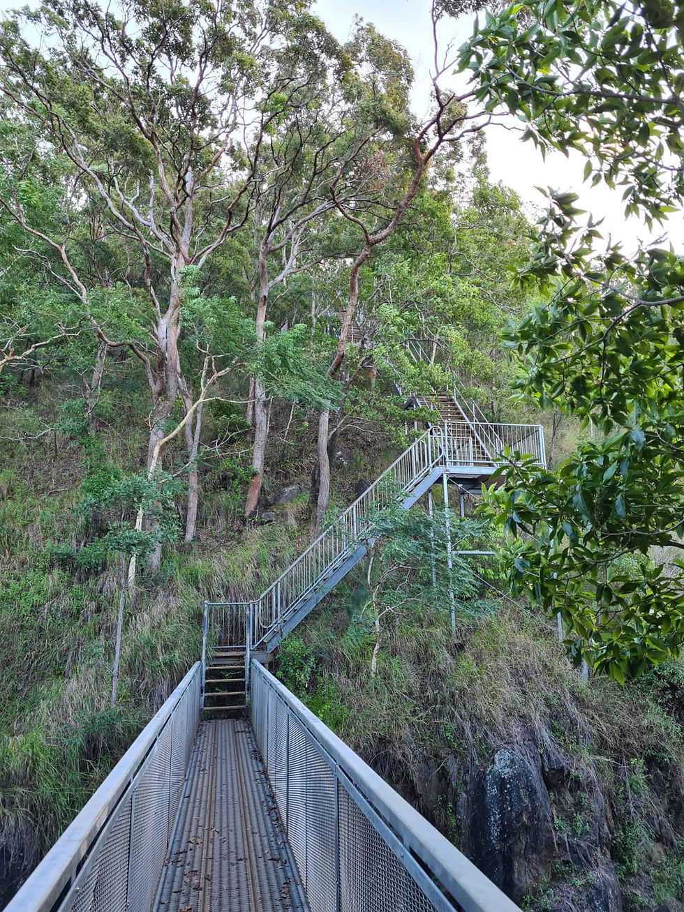
The stairs are a real burner, but once you are past the stairs the trail becomes easier to follow, and I would say just easier in general. You also start to get glimpses of ocean views.
There is a picnic table set up for a rest and a bite to eat. Arguably this may even be a better view point that Glacier Rock itself. Below is a photo from the picnic table just before sunset.

Once you have caught your breathe and taken in the views, keep on heading up. You will arrive at a dirt road, follow the dirt road a couple of hundred metres until you see the sign that signals the start of McDonald's Track and to turn left to remain on the Douglas Track to Glacier Rock.

Once you turn left the rest of the trail to Glacier Rock is well signed. It is only another 1.2 km to the top! About half way there you will need to take a left at the fork, rather than continue along Douglas Track as this will lead you to Speewah. When you get to the top there is a big sign that signals you have made it (yay!).

From the top, there is a secret lookout to your left, you will see that there is an overgrown trail that if you continue down will lead you to a great photo opportunity. Just be careful as this is right on the edge of the cliff.


Enjoy and stay safe!


Comments